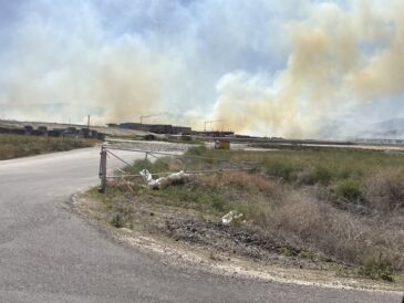
Fear of flooding: High snowpack launches flood preparations

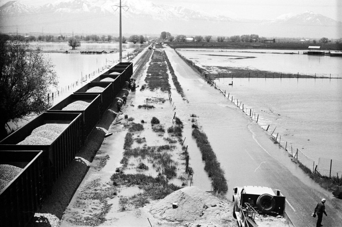


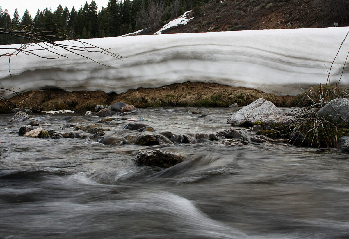
Large amounts of snowpack cover the banks of Tibble Fork Reservoir Friday, April 15, 2011 near Granite Flat up American Fork Canyon. Snowpack at Mount Timpanogos is at highest level ever recorded, which could lead to possible flooding in the Utah County area. ANDREW VAN WAGENEN/Daily Herald
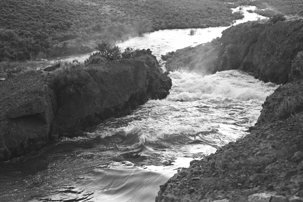
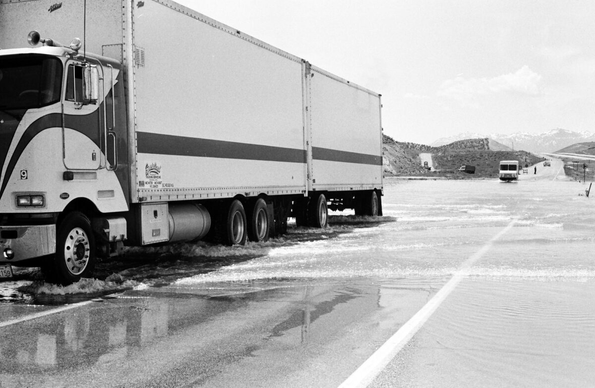
These are the facts: The snowpack at Timpanogos Divide is at the highest level in recorded history — exactly 200 percent of normal. Utah County has a history of flooding, sometimes even destroying homes. And the snowpack should have begun melting already, but it hasn’t, thanks to weeks of storms.
Is flooding imminent?
Flood Indicators
When it comes to predicting spring floods, there are three keys to watch, said Glen Merrill, meteorologist with the National Weather Service in Salt Lake City. First, the amount of snow. This year’s snowpack is 8.6 percent higher than the previous record — 47 inches of water in the snowpack this year, compared to 43 inches in the previous record.
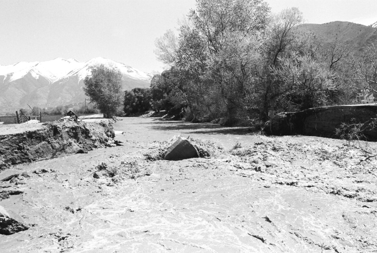
Second, soil saturation. If the soil is relatively dry, the potential for flooding goes down. Unfortunately, our soil is wet, wet, wet.
Because the soil moisture is high, Merrill says the weather service is expecting the snow melt to go right into local rivers.
Third, the timing of the melt. If temperatures gradually warm up, and the snowpack steadily but slowly melts away, floods will be avoided. But if late April and early May bring a sudden wave of warm temperatures, the rivers will rage.
“If we continue to have a cool, wet spring where we maintain the snowpack, the potential for higher volumes during a rapid melt in May go up,” he said. “We’ve had a cool, wet spring and that will continue for another week at least.” We are sitting at record snow levels, “but just having that much snow doesn’t mean flooding. It would be good to shed the water now, but just because we are not does not mean flood.”
So yes, we have two of three indicators of flooding, and the third indicator isn’t looking so good, but there is time for that to change.
“It all depends on the weather over the next month,” Merrill said.
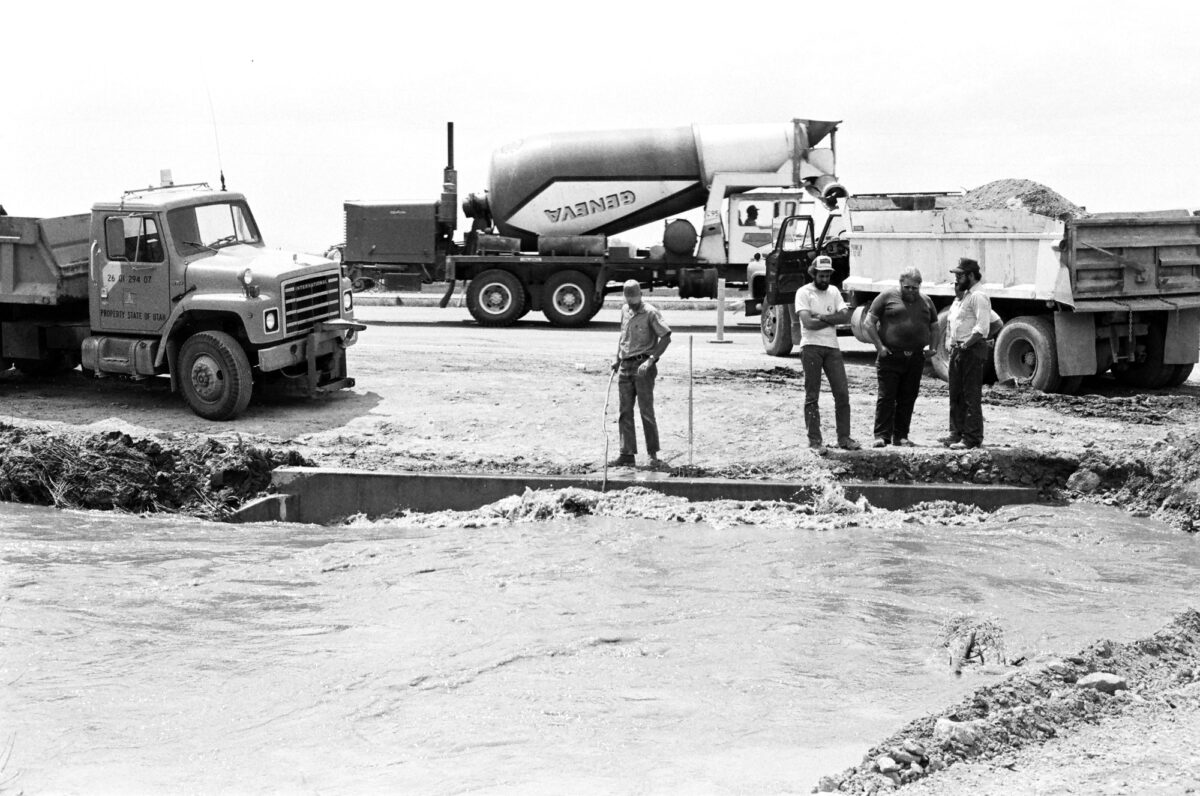
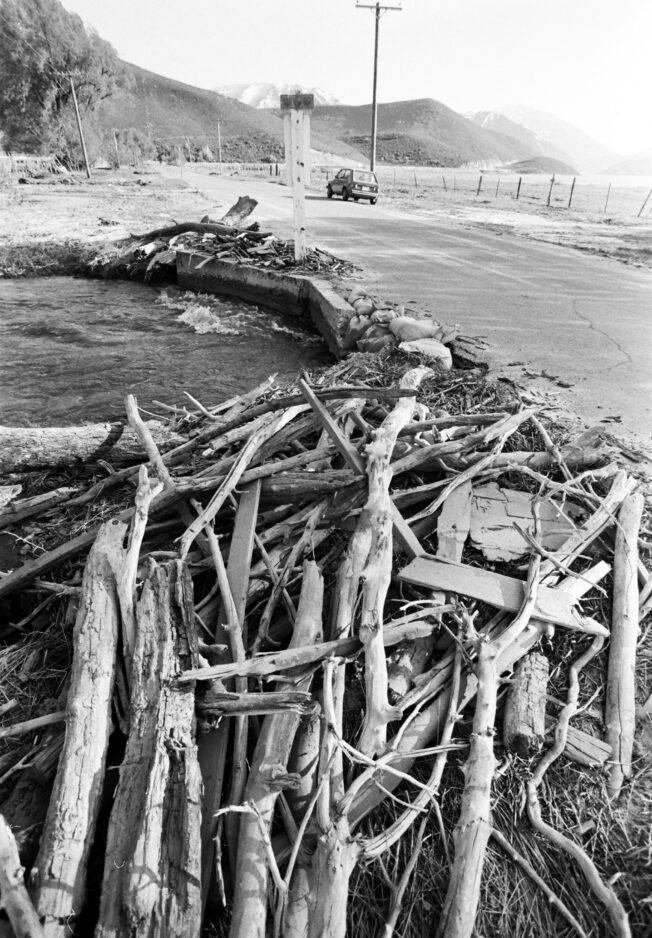
All cities across the county, and county officials, have been working to clear riverbeds and prepare for potential flooding, said County Commissioner Larry Ellertson.
“We have been coordinating with each other on that, and we are looking very carefully at that,” he said, noting that the county is optimistic for the best, but recognizes the potential.
Despite what local government does, individual accountability is important, Ellertson said.
“I would just caution everyone if they are in an area that has flooded,” he said. “Since we had the floods, there have been a lot of homes built and some in low-drainage areas,” he added, referring to the floods in 1983.
Homeowners must “be aware of what is above them and what could happen,” he said. “They need to be aware of the potential.”
Homeowners who are not sure if they are now living in an area that has historically been flooded should contact their individual cities, Ellertson said.
“I would encourage people to do a little bit of due diligence.”
Good news
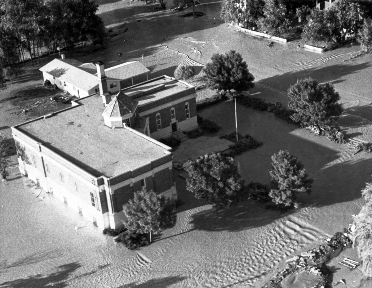
There is good news. Thanks to lessons learned and preparation, Utah Valley may never see flooding on the level of 1983 again. That was the year Utah County and much of Utah was struck with massive floods and widespread damage, including the Thistle Mudslide in Spanish Fork Canyon, which destroyed a town with almost no warning. The Thistle disaster was the first presidentially declared disaster in Utah history, and caused $200 million in damage.
The good news is:
• Following the floods of 1983, the Jordan River was dredged and debris basins were built. This means the Jordan River now has a higher capacity, so Utah Lake does not rise as much. The debris basins also catch logs and gravel so that rivers and streams do not overflow as easily. Many local streams were cleaned again in 2005, and many cities now have ongoing programs to keep streambeds unclogged from trees, silt and debris.
• Provo has spent millions on improving its flood drainage system.
• The completion of Jordanelle Reservoir since 1983 has created a much greater capacity to take peak flows from the rivers upstream.
• Following 1983, new flood plain restrictions were implemented in many cities, and most cities prepared new inundation maps, showing potential pathways for large-scale floods, and predicting which homes would be in danger, county officials have said.
• Lehi has improved its drainage systems and cleaned the Dry Creek channel.
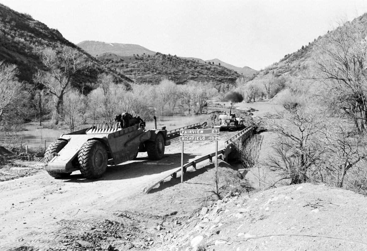
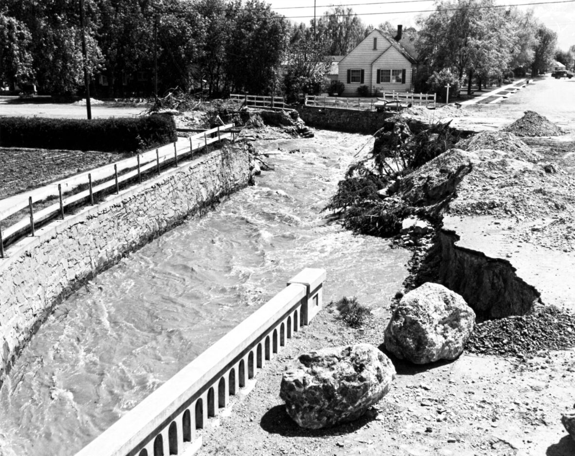
• American Fork has improved or replaced many bridges. In areas damaged in the floods of 1983, the city now has gabions, or rock-filled baskets, which line the river and prevent similar erosion. One section of the riverbank has been lined with concrete, making the river channel much more stable.
• A high snowpack does not always lead to flooding. In 1997 the snowpack in Utah County was nearly as high as 1983, but there was little impact. The difference was that melting happened more slowly in 1997, and the previous year had been dry, which meant there was more room for absorption in the soil.
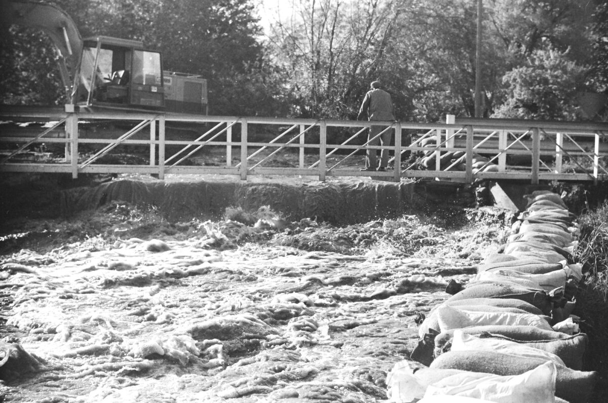
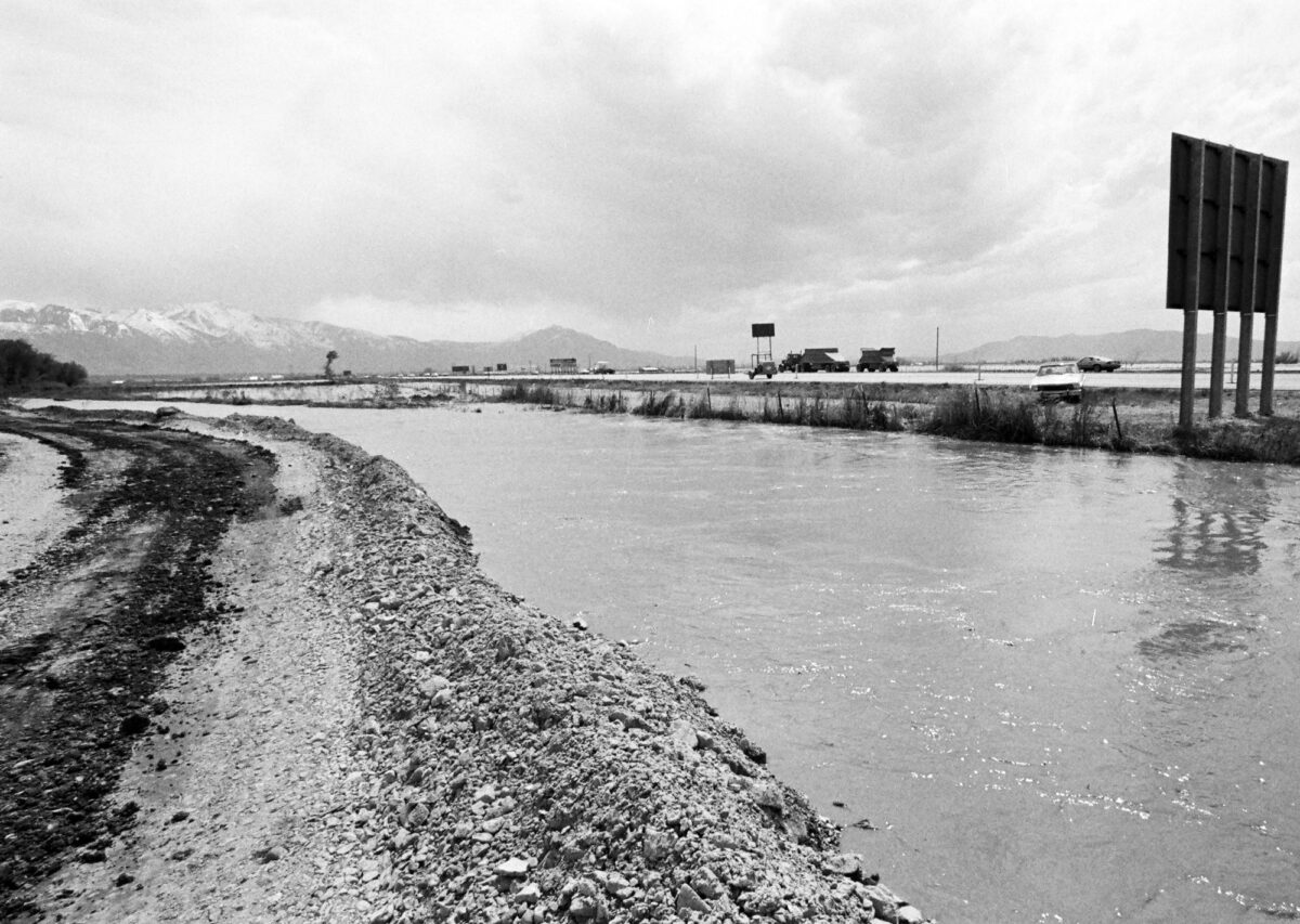
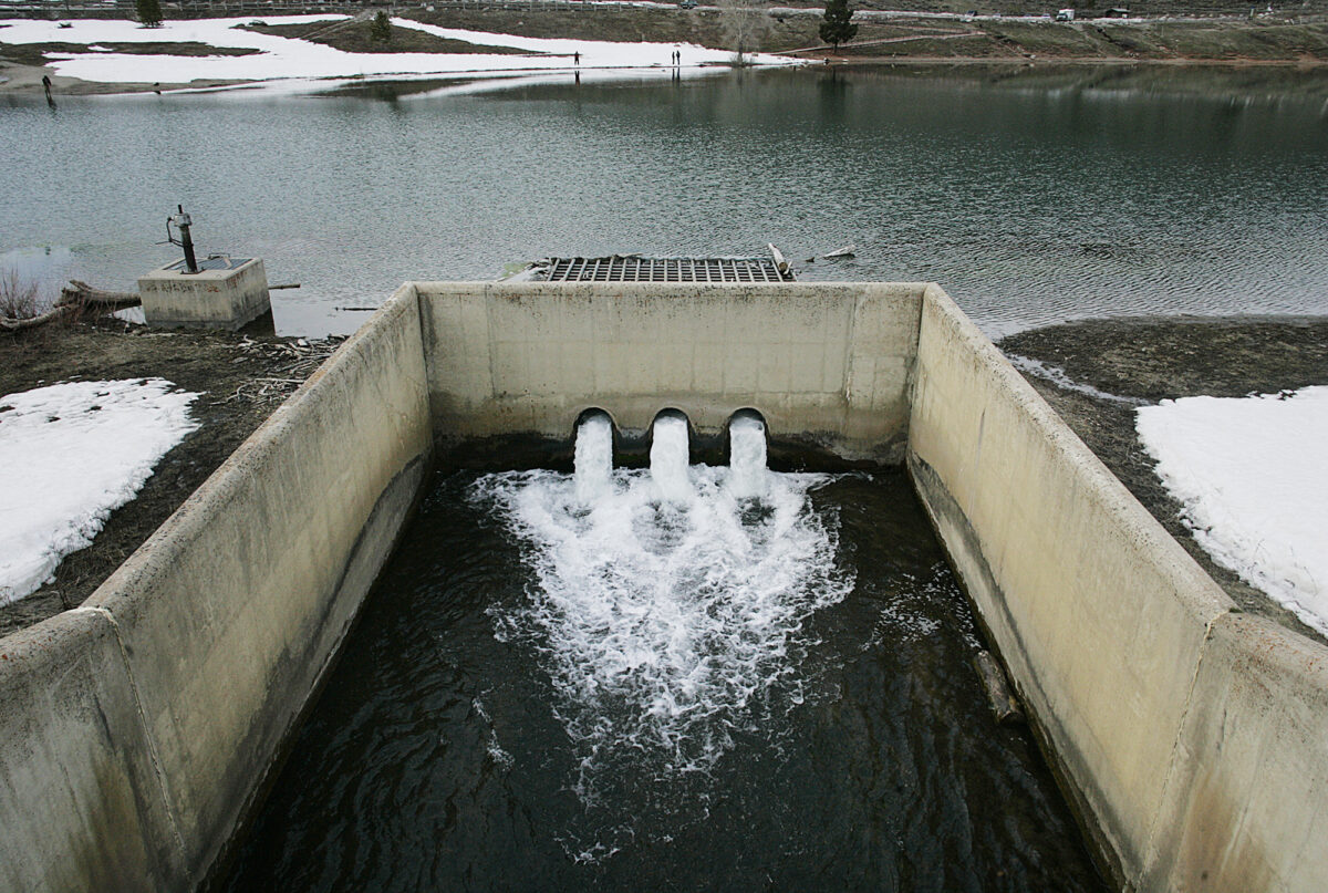
• Local rivers are regulated with releases from dams. Dam managers keep an eye on water levels daily, and have been drawing down reservoirs in recent weeks in anticipation of all the water waiting in the mountain snow above.
“That will help mitigate potential flooding a bit,” Merrill said.
Cautions
National Weather Service hydrologists are warning that multiple rivers in populated areas along the Wasatch Front could see significant flooding, and have said this year’s conditions are similar to conditions in 1983. Cache, Salt Lake and Weber counties are forecasted to potentially see the worst flooding. Here are a few specific cautions:
• “Cities and counties and towns and water districts should be looking at this very carefully and taking appropriate measures to prepare for high flows,” said Randy Julander with the Utah Snow Survey, as quoted by The Associated Press. “We have a month and a half to get ready to prepare.”
• People don’t learn. Within a year of a major wildfire, followed the next spring by a major mudslide that nearly took out the same Santaquin neighborhood, new homes were built 300 feet from a home destroyed by the mudslide. Before the slide, the Santaquin mayor warned residents of the danger, asking them to buy flood insurance. After the flood, it was reported that none of those who suffered damage in the mudslide had done so.
• Cities allow homes to be built in unsafe locations. The 2005 landslide that destroyed four Cedar Hills townhomes is a prime example. Angry home buyers said they never were warned.
“It is not uncommon for Utah Geological Survey concerns about slope instability to be down played by developers or even contested as not a relevant factor,” wrote state geology officials in a report after that disaster.
• This week, Uinta-Wasatch-Cache National Forest officials told those who may be headed outdoors “to be aware of potential flooding” and to stay out of closed roads, picnic areas or campgrounds and watch children at all times.
• Highland will provide sandbags and sand on Saturday after calls from concerned residents.
“I approved it,” said Mayor Lynn Ritchie. “We want to be ready for flooding. We know it is going to be a high water year and we’ve had flooding in the past. You just have to do it and be prepared.” The snowpack is probably as high as it was in 1983, he said, and the flooding of that year “really woke us up around here.” Other cities all around Utah County have been taking their own precautions.
History repeats
Utah Valley has a recent history of damage and destruction related to floods, mud and avalanches during wet springs. Here are some of the most notable examples:
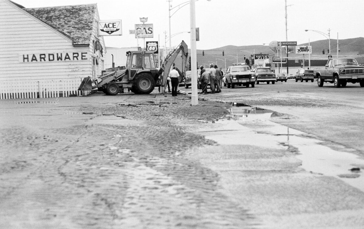
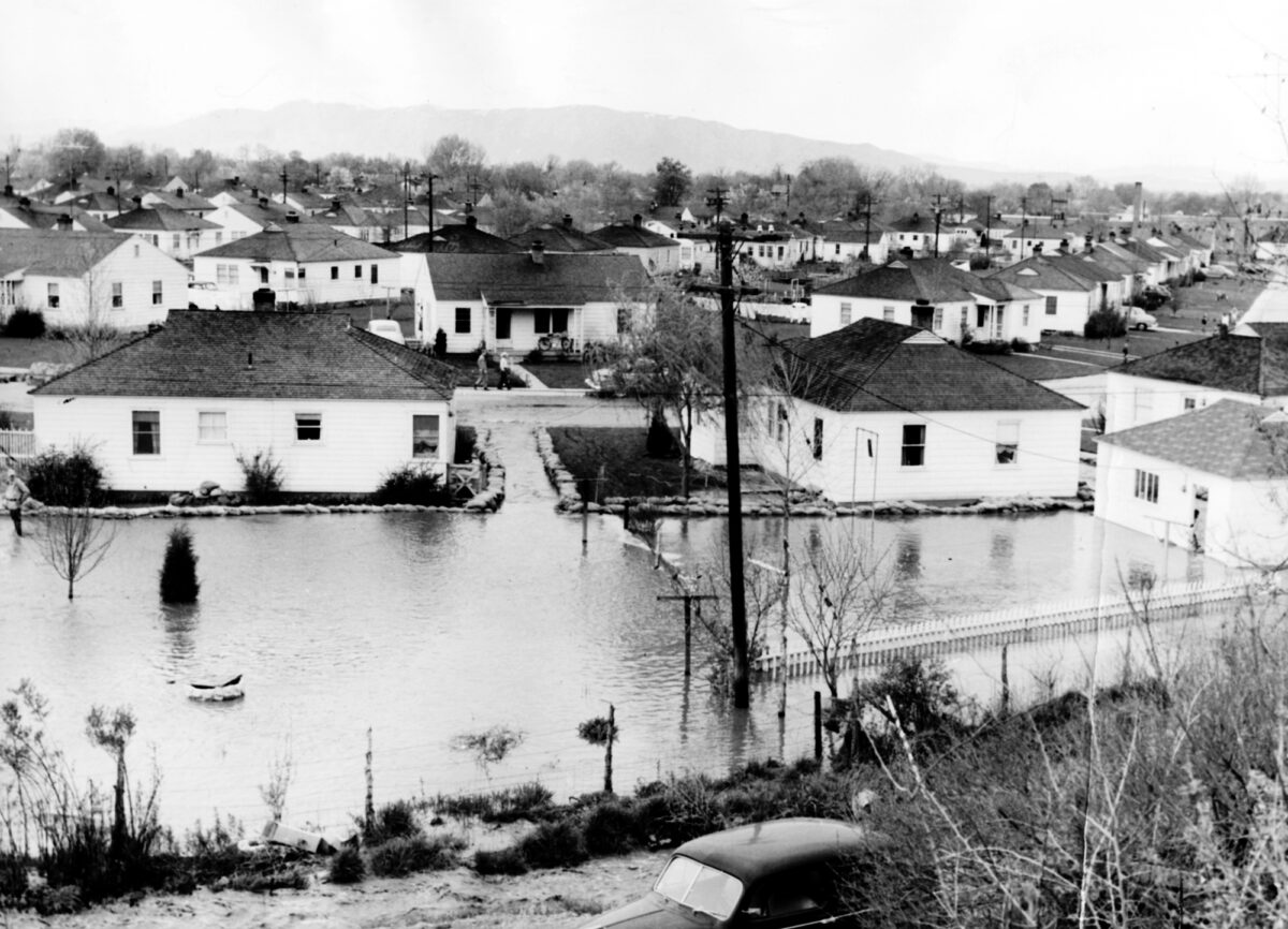
• In 1983 the entire Utah County town of Thistle was taken out by a massive slide in Spanish Fork Canyon, killing at least a dozen people. The American Fork River washed out its banks and flooded what is today Cedar Hills. In south county, Genola was heavily flooded. Provo and Lehi were damaged by floods, and property now dotted with homes in Saratoga Springs was underwater in 1983.
• On Sept. 12, 2002, six mudslides poured into Santaquin and Spring Lake, forcing the evacuation of 50 homes, knocking holes in houses and pushing cars down the streets, but causing no injuries. Rain-saturated soil became unstable after a massive wildfire stripped the slope of vegetation in the same area the year before, just missing Santaquin homes.
• In 2005 in Pleasant Grove, a flood channel had to be constructed down 500 North to divert rising waters coming out of the Grove Creek retention basin, a measure that was also taken in 1983.
• In 2005, Utah and Utah County experienced so many landslides due to rain saturation that state officials said they stopped counting them, while noting the total rivaled the disastrous number of landslides in 1983. A 10-year-old boy was killed when the bank of Kanab Creek gave way. Total landslide damages that year were estimated at $10 million.
• In April 2005 a massive slow-moving landslide destroyed four townhomes in Cedar Hills.
• Also in April 2005, a 210-foot-wide avalanche roared 2,000 feet down Loafer Mountain in Woodland Hills, grinding to a halt in a grove of Gambel oak on a $200,000 residential building lot that had recently been sold for development. The lot was buried in 35 feet of snow, and the avalanche stopped less than 100 feet away from a Parade of Homes home across the road. Three families were evacuated.
• In May 2005, a 10-ton boulder crashed down onto a Provo neighborhood, clipping an unoccupied guest house.
• Two men had to be rescued from the Provo River in May 2005 when raging water broke their canoe in half. The Provo River was flowing at six times the typical level at the time.
• In Provo in 2005, flash floods from Little Rock Canyon flooded homes on Quail Valley Drive.
• In April 2006, high water eroded portions of a new $1 million south jetty at the harbor of Utah Lake State Park. The park had accepted a $100,000 grant that same week to reclaim 5 acres of land damaged in the floods of 1983.
• In February 2008, flooding up to three feet deep closed Redwood Road in Saratoga Springs and flooded homes in the White Hills neighborhood, now part of Eagle Mountain.
• In June 2010, Dry Creek overtopped its banks and poured onto Lehi State and Main streets, flooding several homes.
• Provo has experienced flooding 11 times since its founding in 1849, according to city officials. That is an average of one flood every 14 years.
Death of Utah Town: Recollections of the Thistle Mudslide
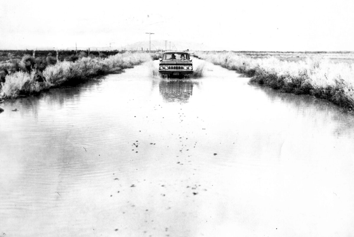
The destruction of Thistle, a tiny Utah town once located in Spanish Fork Canyon, started when a landslide blocked Thistle Creek. Water backed up behind the mud, creating a 2.5-mile-long, 200-foot-deep lake. Soon, U.S. highways 6 and 89 would be so badly buckled as to force their closure; within three days, machinery was working around the clock to keep the slide from further blocking the raging creek.
On the 20th anniversary of the mudslide in 2003, Jeannie Ashton of Payson vividly remembered the rescue effort as a lost cause. Ashton was 13 years old when her family received a call from an aunt and uncle living in Thistle.
“By the last day, the water was coming up the back steps of the house,” she said. “We were knocking out windows trying to keep the house from floating off the foundation. We pulled up carpets and put them on top of doors in an effort to keep them dry — I remember that because it seems so silly now.”
Even as the family left for the last time, they still thought the house might be only flooded, allowing them to clean up and move back in.
“The next time we went up there, we actually had to climb up over a mountain to look down to where it used to be and I remember the houses floating in the lake,” she said. “It was really weird knowing the whole town was underwater. It was just gone. A lot of people didn’t take anything but a few necessities because they thought they would be back.”
Renae Swenson lived in Birdseye, six miles south of Thistle. She recalled that Utah Power and Light employees, who were in the area trying to fix downed power lines, knocked on the door to tell her the river bridge to their property — the only link to the outside world — was about to collapse. Sending their four children, then ages 8-17, to safety with the workers, Swenson and her husband crossed the bridge and watched from the other side as it was swept into the river.
“The bridge washed away, the front of the property fell into the river, the sprinkler systems and sheds were gone, but we didn’t lose our home,” she said. “We didn’t suffer at all compared to those in Thistle who lost everything.”
— Caleb Warnock
Muddy monikers
Just as the words tsunami and tidal wave cannot be used interchangeably, mudslides and landslides are two different events. Here is a primer on terms for three wet-spring exhibitions of Mother Nature common to Utah County.
Landslide: To geologists, a landslide or earth slip generally means a chunk of earth slowly moving down a slope, although occasionally the movement may be rapid. Landslides come in many shapes, including so-called deep-seated slides, rotational slump slides and block slides, just to name three, according to the U.S. Geological Survey. One landslide may even be categorized by several of these monikers, depending on how the soil moves. Utah’s most famous — and most expensive — landslide happened in 1983, when the town of Thistle in Spanish Fork Canyon was destroyed as a landslide blocked Thistle Creek, forming a lake that submerged the town’s 50 residents and forced the relocation of a highway and railroad tracks. The disaster caused $200 million in damages.
Debris flow: Known to the public as a flood, flash flood or mudslide, this is the rapid movement of water, mud, plants, trees and/or anything else picked up by water or mud. A debris flow is confined to the surface of the land, as opposed to a landslide, which goes much deeper. Debris flows are always rapid. The most famous debris flows in Utah County’s recent history are the six mudslides that poured into Santaquin and Spring Lake on Sept. 12, 2002, forcing the evacuation of 50 homes, knocking holes in houses, pushing cars down the streets, but causing no injuries. True mudslides are often the result of a wildfire that has destroyed the vegetation needed to stabilize slopes, which then become rain-soaked in spring weather. Because landslide is technically both an overall category and a specific kind of movement, a debris flow can be called a landslide but a landslide cannot be called a debris flow or mudslide.
Rock fall: When cliffsides collapse to form moving boulders, this is termed a rock fall. Spanish Fork, American Fork and Provo canyons have all seen rock falls in recent history — some significant enough to close roads for a time. The most famous recent rock fall was the shower of 50 boulders that raced down Y Mountain in May 2005, shooting a 10-ton boulder through an east bench home.
— Caleb Warnock