Winter arrives: Storm boosts mountain snowpack, hits Utah Valley floor
-

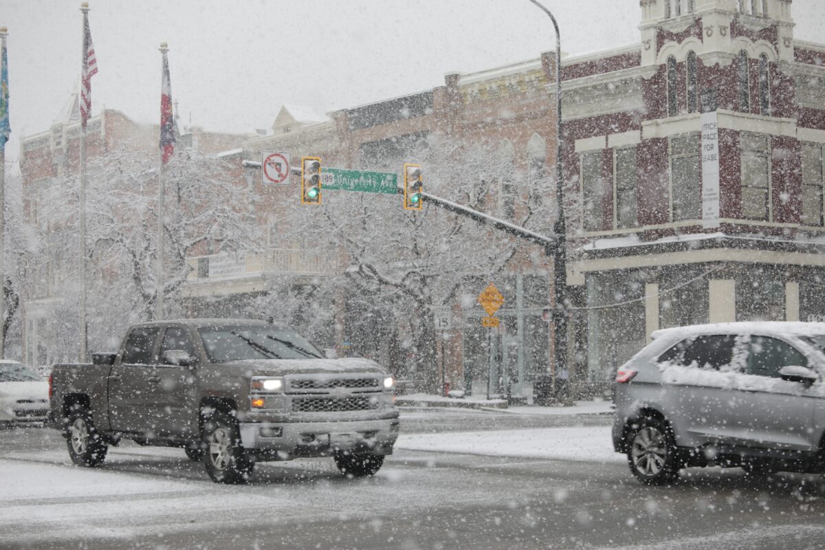
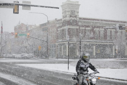
- A snow storm is pictured Wednesday, Feb. 18, 2026, in Provo.
-
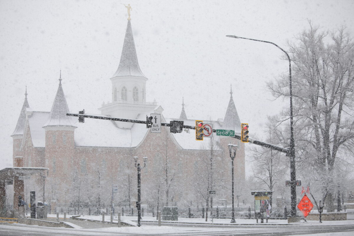
- A snow storm is pictured Wednesday, Feb. 18, 2026, in Provo.
-
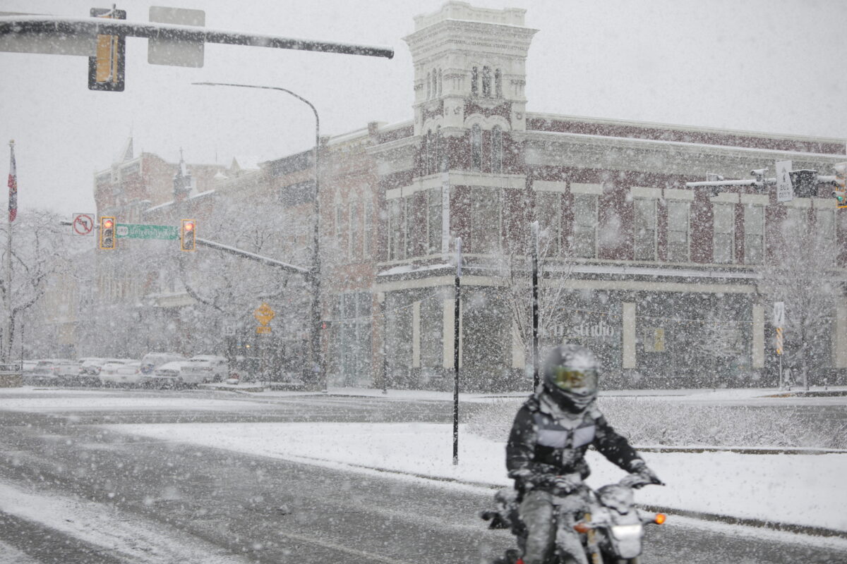
- A snow storm is pictured Wednesday, Feb. 18, 2026, in Provo.
Northern Utah’s biggest storm of the season arrived Tuesday night and continued into Wednesday, boosting the snow total in the mountains and prompting calls from the Utah Department of Transportation to drive slow and avoid travel if possible.
While ski resorts in the Cottonwood Canyons reported nearly a foot of overnight snow, Sundance Mountain Resort received 5 inches as of Tuesday morning, with more expected to accumulate throughout the day. Officials snowfall totals for the Provo-area were not released by the National Weather Service as of Wednesday afternoon, but at least an inch fell — temporarily erasing an otherwise warm and dry winter and putting snow plow drivers to work.
“A high pressure’s been blocking the storms from moving in, and we were able to push that high pressure away from the region, and that helped us to get the storm track in Utah, and so we’ve been able to get quite a bit of snow, especially in the mountains,” National Weather Service Meteorologist Christine Kruse said.
As of Tuesday, the snow-water equivalent total for the Provo-Utah Lake-Jordan Region was at just 54% of the median, according to the Natural Resources Conservation Service Snow Survey Program. Kruse said the latest storm will certainly help but said there is a ways to go to climb out of the drought.
“It would take a number of storms like this to get us even close to what we would normally see this year,” Kruse said. “So every bit helps, and it’s really good to see a big storm like this, but it’s not going to put a substantial dent into our snow drought for this winter.”
Local News
Winter arrives: Storm boosts mountain snowpack, hits Utah Valley floor

Provo Planning Commission recommends to City Council rezoning approval for data center