
Manti-La Sal National Forest plans prescribed burns across central and southern Utah
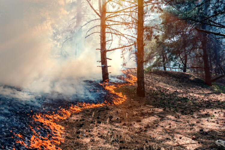
As conditions allow, broadcast burning will be conducted on the New Canyon prescribed burn unit east of Ephraim in Sanpete County.
The Manti-La Sal National Forest is planning a series of prescribed burns this fall and winter across Sanpete, Emery and San Juan counties as forest officials work to reduce hazardous fuels and lower the risk of severe wildfire.
The prescribed fire projects are planned for the Monticello, Ferron/Price and Sanpete Ranger Districts, with the timing of each burn dependent on weather, moisture and other conditions.
According to the Forest Service, certified prescribed fire specialists will conduct the treatments with goals that include reducing wildfire fuels, improving wildlife habitat, supporting watershed health and restoring ecosystems that are adapted to periodic fire.
Projects near Monticello
Three adjoining prescribed fire projects are planned approximately two miles west of Monticello in San Juan County.
The project areas generally are located north of the Blue Mountain Ranch subdivision, south of Harts Draw Road and west of Lloyd’s Lake.
The largest of the three projects is the Shingle Mill Prescribed Fire, which is located near Forest Service roads 5526, also known as Harts Draw Loop Road, and 0087, or Shingle Mill Draw Road. Approximately 4,350 acres are planned for treatment through broadcast burning.
The Blue Mountain Ranch Prescribed Fire is located near the Blue Mountain Ranch community, with approximately 563 acres planned for treatment.
The third project, the Monticello Forest Health Prescribed Fire, is located in the Dickson Gulch and Cold Springs area. Approximately 1,295 acres are planned for broadcast burning.
Forest officials say travelers in the Monticello area may experience brief delays during burning operations, although no area closures are currently anticipated on the Monticello Ranger District.
12-Mile project in Sanpete County
The Manti-La Sal National Forest also plans a major prescribed burn on the Sanpete Ranger District.
The 12-Mile Prescribed Burn will take place on and near Order Mountain in Sanpete County, with approximately 2,000 acres planned for treatment through broadcast burning.
In addition to the broadcast burn, Forest Service crews may conduct pile burning in the 12-Mile and Spring City project areas, as well as in various timber sale units throughout the North Zone of the forest.
The pile burning will depend on moisture conditions.
Temporary road closures may be necessary in the 12-Mile project area to protect firefighters and the public during burning operations. The Forest Service said closure notices will be posted before ignition operations begin.
Fall recreation and hunting
The planned burns come during one of the busiest recreation periods of the year, and Forest Service officials said they will work to accommodate hunters and other recreationists as much as possible.
Visitors to the forest are encouraged to watch for warning signs and use caution when traveling near prescribed fire areas before and during burn operations.
The Forest Service will evaluate weather and fuel conditions in the days and hours leading up to each planned ignition. If conditions are not favorable, the agency may postpone or cancel a scheduled burn.
Smoke may be visible
Residents and visitors may see smoke from the prescribed burns while ignition and patrol operations are taking place.
The Forest Service said it works with air quality specialists and monitors smoke during prescribed fire operations. Burns are scheduled when conditions are expected to provide the best possible smoke management.
Current air quality information is available through AirNow.
Officials also ask the public not to report the prescribed burns as wildfires. Firefighters will remain on scene throughout ignition operations and will patrol the areas afterward.
The prescribed fire program is part of the Forest Service’s broader effort to manage fuels and reduce the potential for hazardous wildfire conditions on national forest lands.
For updates on planned burn dates and locations, residents can follow the Manti-La Sal National Forest through its website and social media channels. The Forest Service will provide additional notifications as individual projects move closer to ignition.
For more information, contact the Manti-La Sal National Forest or visit the Forest Service’s Manti-La Sal National Forest website.